

 Australia, Victoria, The Otways Region
Ride at a glance


Overview
I found this ride following a group on Instagram called @otwaypanthergravelcollective and make no mistake, this was a pretty trick day out although, recapping a few years on, whilst this isn’s the easiest route in the world, there’s still some remarkable Otway Gravel.
Staying in Barwon Heads, I decided to ride the 60kms to the start of the ride at the Aireys Pub which may have used up some energy that I perhaps would have liked to have called upon later in the day.
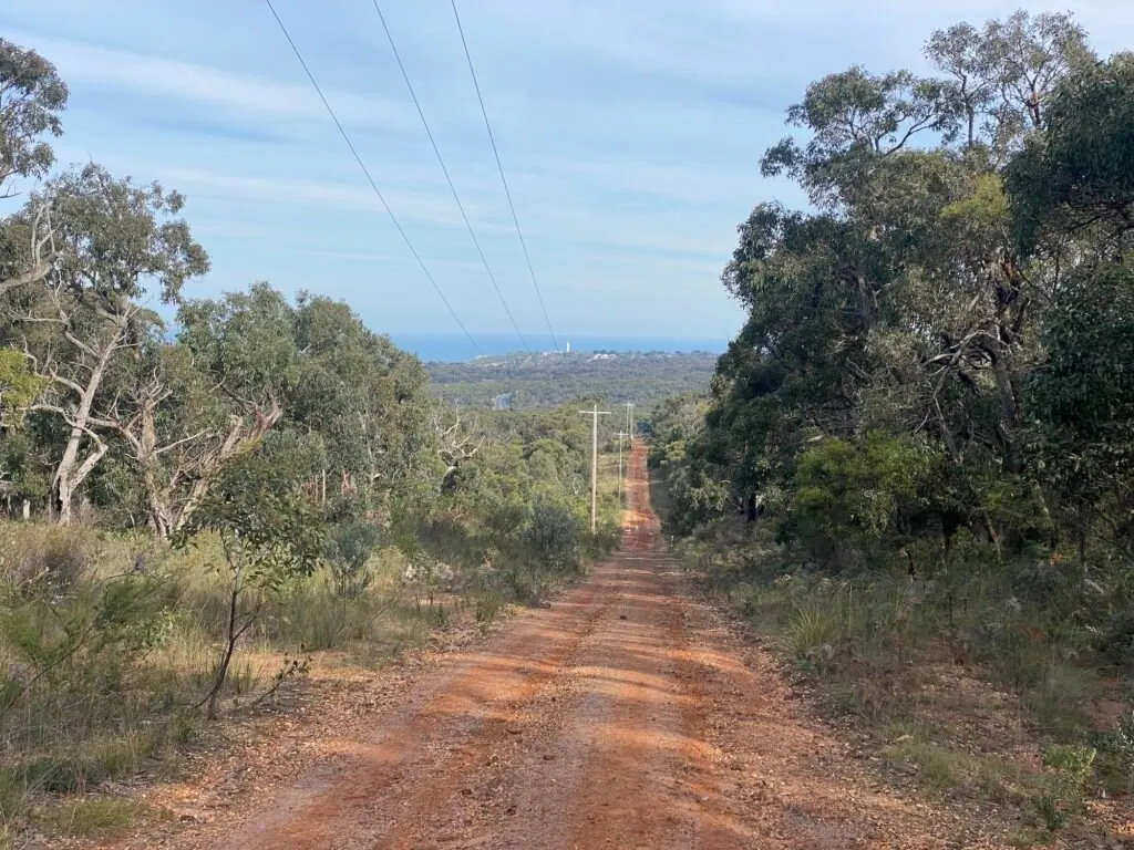
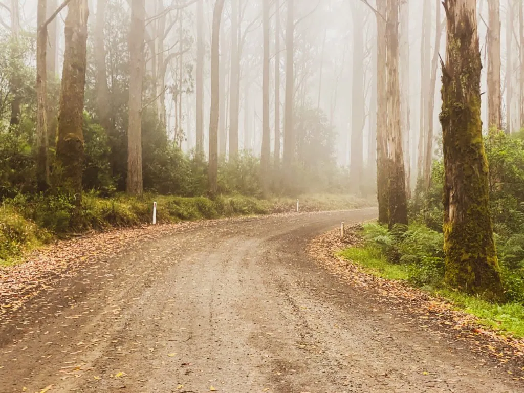
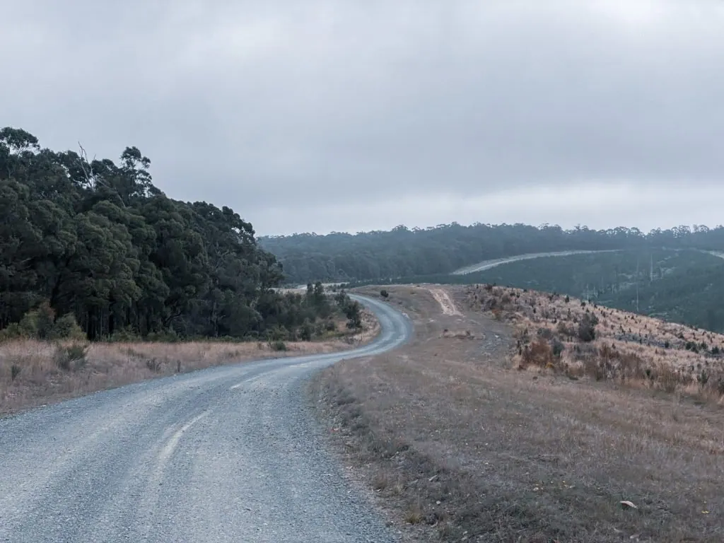
Leaving Aireys pub, a short section of tarmac led to the first challenge of the day, Bambra Rd climb which is 11km of yuck. Corrugations galore and a fair bit of loose gravel, I was soon wishing I was on a mountain bike and not my Cannondale Topstone Lefty.
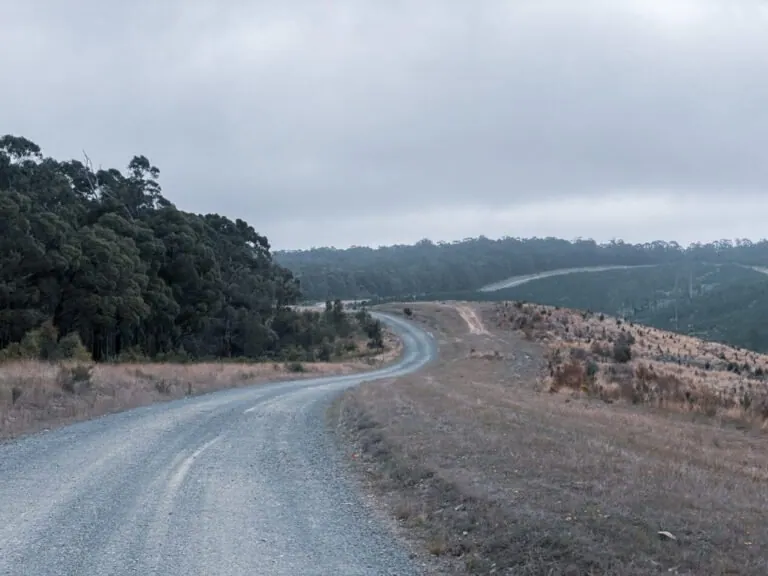
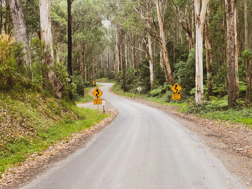
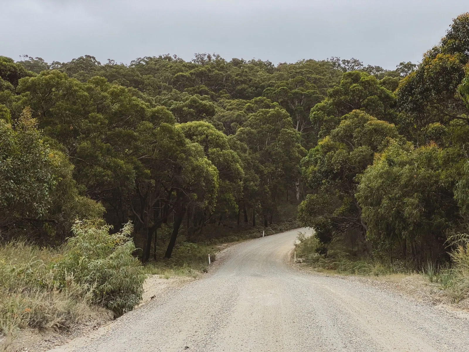
Things ease off a bit as the route takes you around the Bambra Pines and onto Seaview Rd. You’ll find a little bit of corrugation and some softer sandy spots on the descents but overall it’s pretty comfortable.
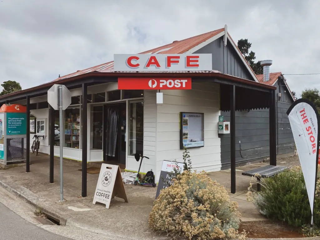
Some tarmac on Lorne – Deans Marsh Rd takes you to another climb on Benwerrin – Mt Sabine Rd which has some loose gravel stuff on it and then it’s downhill to Deans Marsh and the only stop on the ride at “The Store”.
Highly recommended to grab a feed here (as its bloody good) and fill up your bottles as it’s the first and last chance you will get.
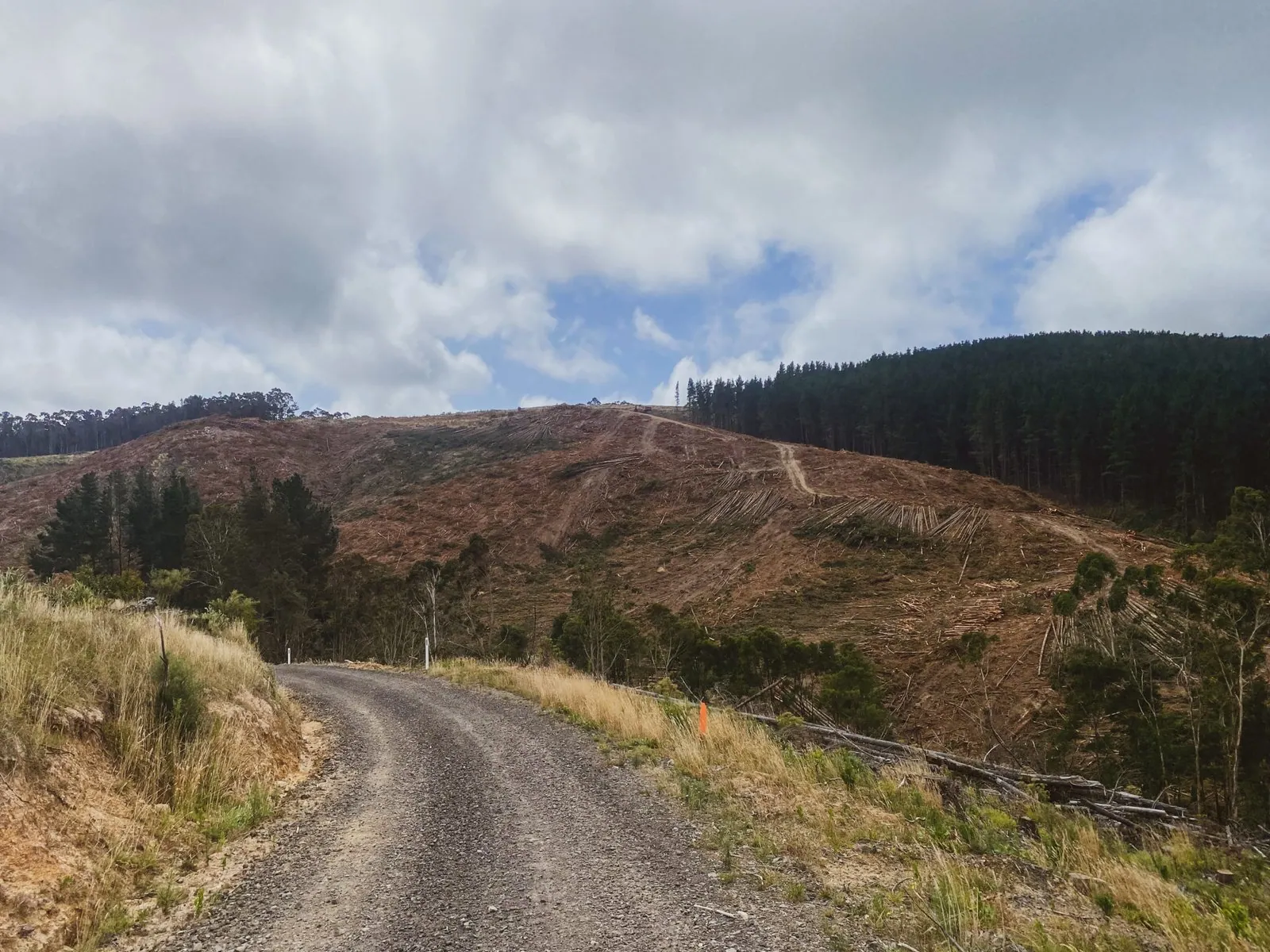
Another fairly long climb featuring a few very pinchy sections will take you back to the top of the ridge to explore some pine plantations and through some winding farmland.
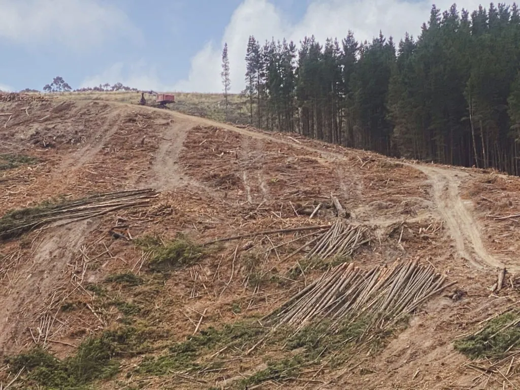
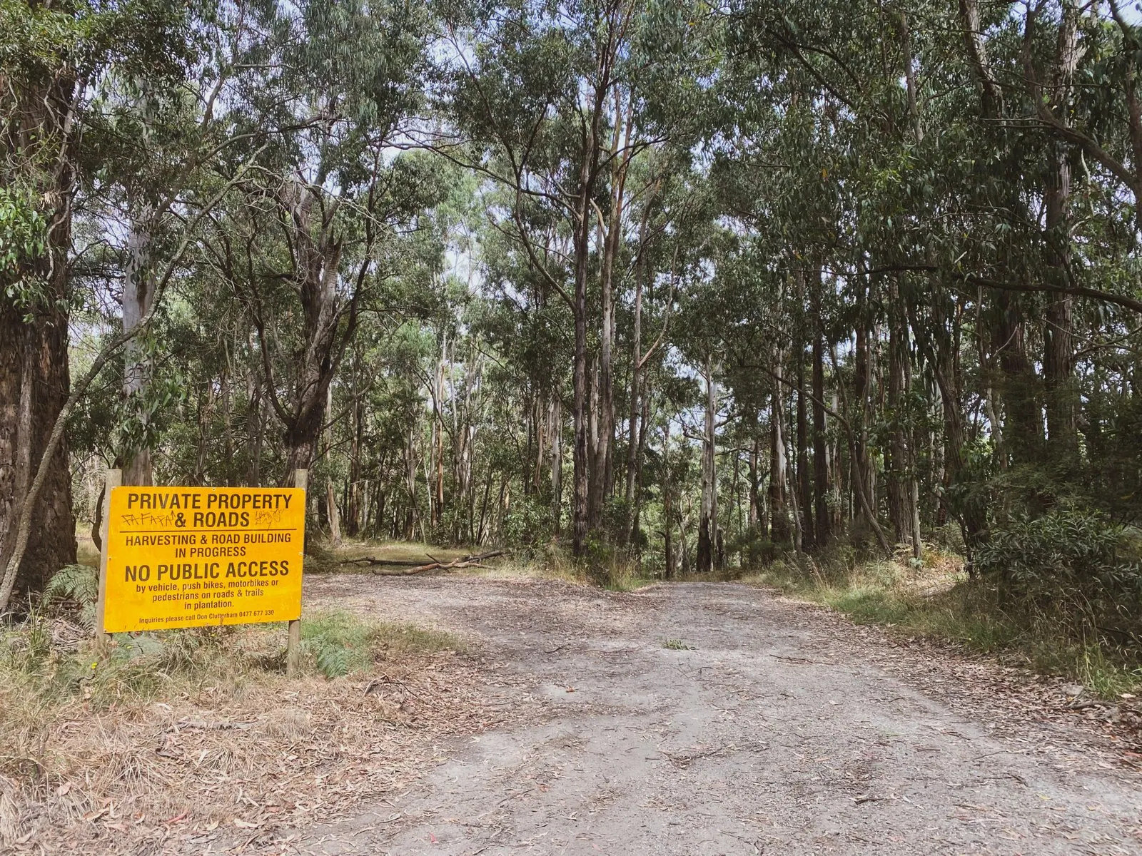
Take care as there were signs suggesting the roads were closed due in the pine plantations due to harvesting however, I trudged on through. There were machines present, but it was a Saturday and they clearly had the day off.
Not sure how you would go during the week but it looked ok.
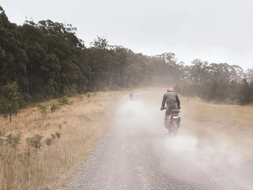
Road conditions deteriorated somewhat after lunch and I found myself negotiating lots of loose and soft material as well as quite a few severely corrugated areas. The last half of the route really is a bit of a slog.
For the final leg to Aireys, you have the choice to take the Currawong Falls Track or descend back down Bambra rd which was a huge corrugated nope from me.
I give these options because there’s a sign saying no bikes down Currawong Falls Track which Im assuming is because it’s a hiking trail.
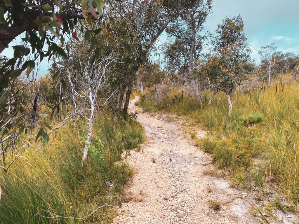
I took the Currawong Falls Track option which was probably not the best option for my gravel bike given that its single track with quite a few technical sections to navigate. I gently nursed my bike down walking quite a few sections and crawled back to the pub for a beer.
A tough day out, I averaged a moving speed of just over 17km/h which probably isn’t so bad looking back. Would definitely enjoyed the ride more with some thicker tires and suspension.
Before you rideArchive guide: check current conditions, access and event dates.Terms & details
BikeRoutes is preserved as a read-only archive. Check current conditions, access and event dates before you ride.
Terms of use: Cycle this route at your own risk. Check local weather, conditions and closures before departure. Adhere to land use rules, carry provisions, safety gear and respect the trail. This information is intended to be used as a planning resource; accuracy is not guaranteed. BIKEROUTES.com.au are not liable for any incidents during or following this route.
Trail Notes
⚠ I found large sections of this route to be corrugated and also found some extremely soft parts both on ascents and descents so extreme care is required for much of this course
⚠ I would probably recommend a mountain bike or something with at least 50mm tyres.
⚠ Very remote ride prior to Deans Marsh and afterwards. Take plenty of water and snacks.
⚠ This is a pretty slow route so also allow time.
⚠ At approx. 63km, there’s a sign stating that the logging roads are closed. I wasn’t going to look for a way around and didn’t have any trouble getting through although, there does look to be harvesting activity so I wouldn’t recommend trying to get through on working days.
⚠ At 94km you will encounter single track that requests for bikes to not pass through. It’s quite technical and you can either run the gauntlet there or go back down Bambra Rd which is not comfortable either.
✅ Toilets, food and resupply at Deans Marsh at 52km.
💧 At 78km, you can find some water at the CFA shed.
❤️ “The Store” at Deans Marsh has amazing food
❤️ Amazing views of pine plantations and The Otways throughout