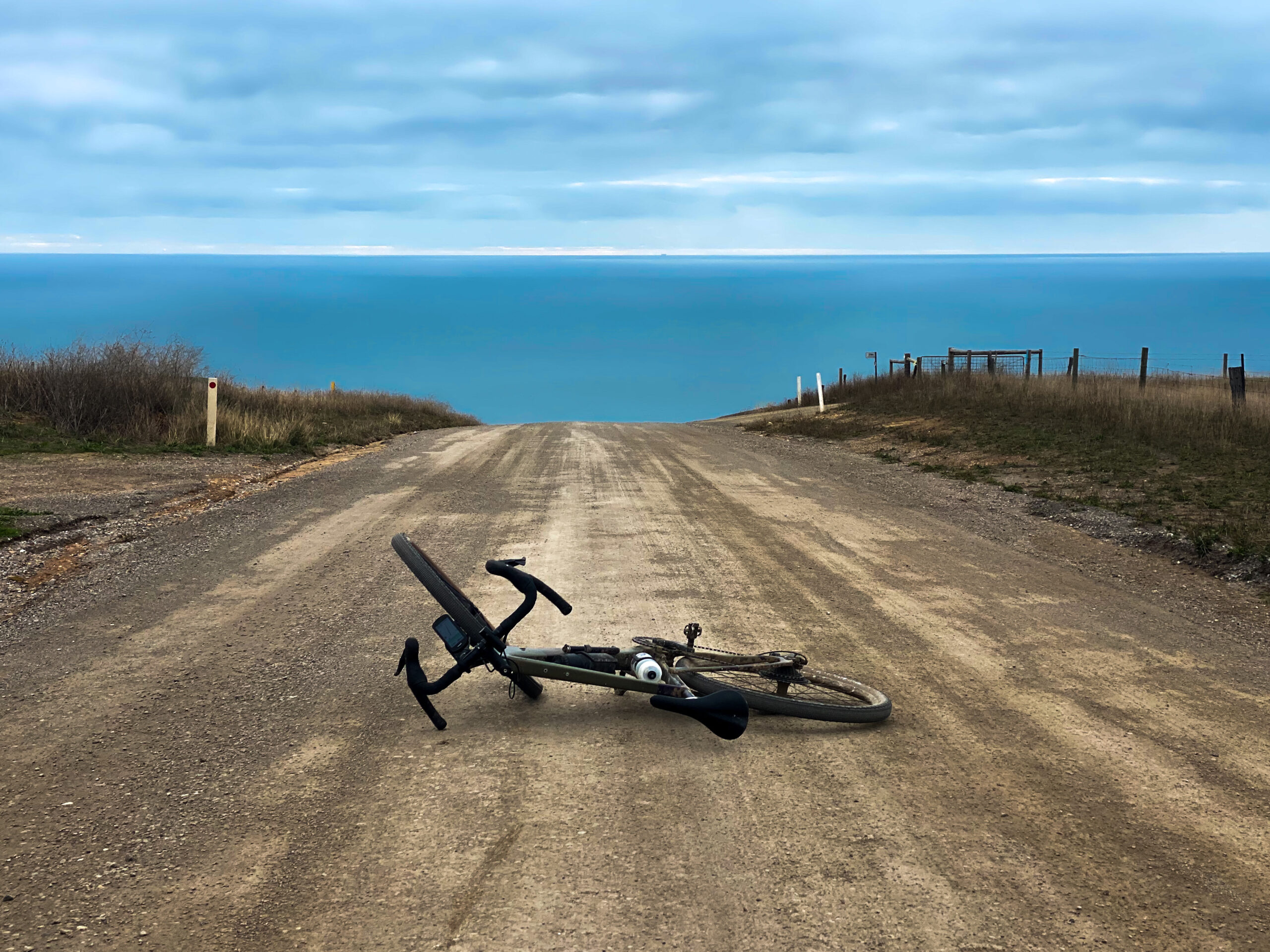
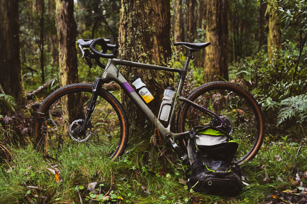
Everyone agrees, gravel cycling is the best kind and Melbourne is just the place to do it.
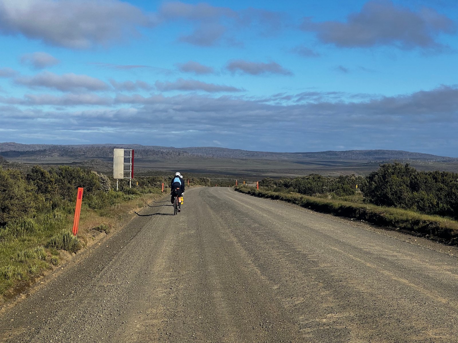
Here are some of my favourite local gravel loops within an hour of Melbourne..
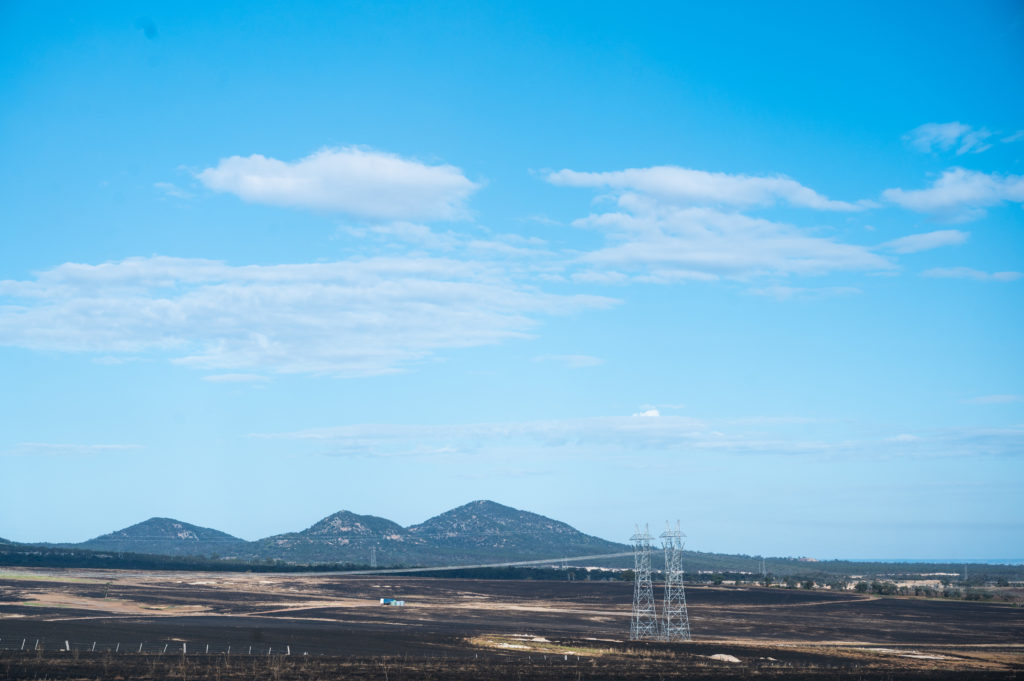
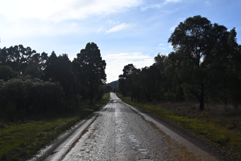
St Andrews – Kinglake & Toolangi National Parks Loop
→89.4km ↑2061m ~78% Gravel ⏱ 55mins from Melbourne
Kicking off in St Andrews, this route takes you up smooth roads into a smooth and at times pinchy climb on Jacksons Rd and into Kinglake central.
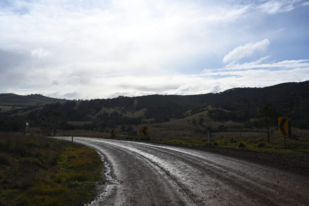
The route juts across Kinglake and down Captains Creek Rd where things get a tad technical before crossing The Melba Hwy and entering Toolangi National Park via Marginal Rd.
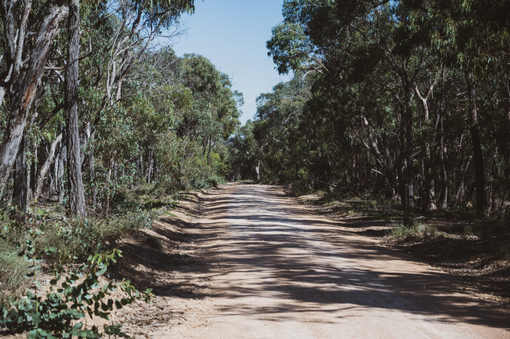
Marginal Rd features a smooth climb before hitting some looser rock and pinchier sections and then a reasonably comfortable descent down Spraggs Rd turning into Old Toolangi – Dixons Creek rd. in the beautiful Toolangi National Park.
Once off the descent, you’ll find yourself on a short stretch of The Melba Hwy to cut across back into Kinglake National Park as you pass Dixons Creek Cafe.
You’ll carry on up a very steep Hunt Lane and not before long, find yourself mostly likely off the bike and hike-a-biking up a rather short section where the gradient maxes out at 24%.
Not too long after that, the climb up Old Kinglake Rd begins, also featuring pinchy bits and once you’ve reached Heidelberg-Kinglake Rd, don’t get too excited as you are to take a hard left onto Mt Everard Track with yet again, more and more pinchy bits.
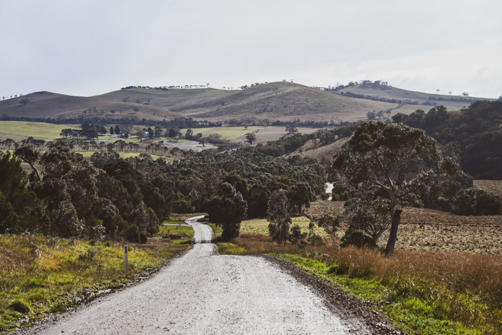
The last 15km’s or so are fairly slow going although Mt Everard Track and what’s beyond feature some pretty amazing scenery over Kinglake National Park and aren’t to be missed in favour of a quicker asphalt descent shortcut down the main road.
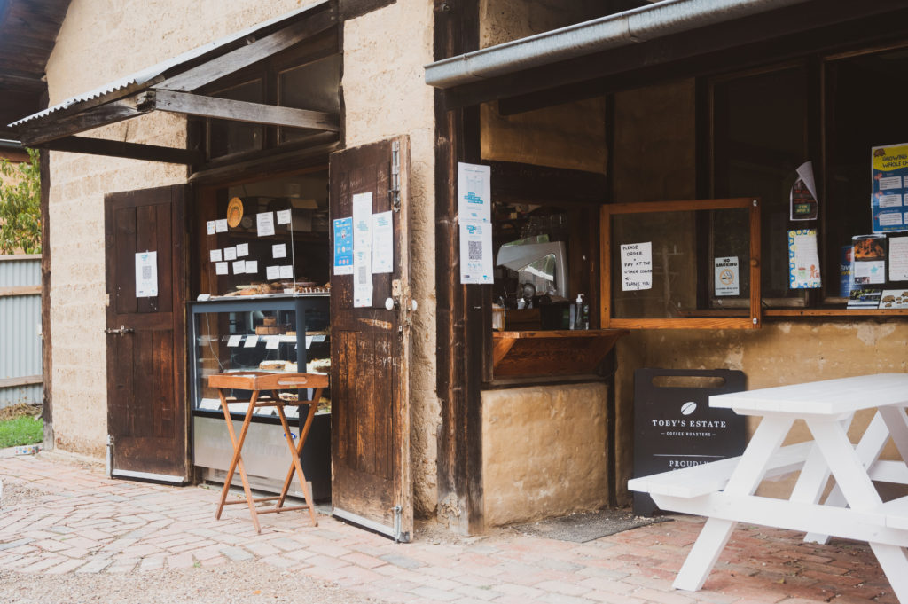
Arriving into St Andrews, you will be somewhat hungry and dishevelled, however, the bakery called “A Local Baker” features excellent coffee and in my opinion, possibly the best home-made sausage rolls in all of Melbourne.
- St Andrews is a 55min drive, North East of Melbourne down the Eastern FWY and through the northern suburbs.
- Hurstbridge train station is the closest station and is a 1hr 10min journey from Southern Cross Station on the Hurstbridge line and then a further 10km bike ride to St Andrews
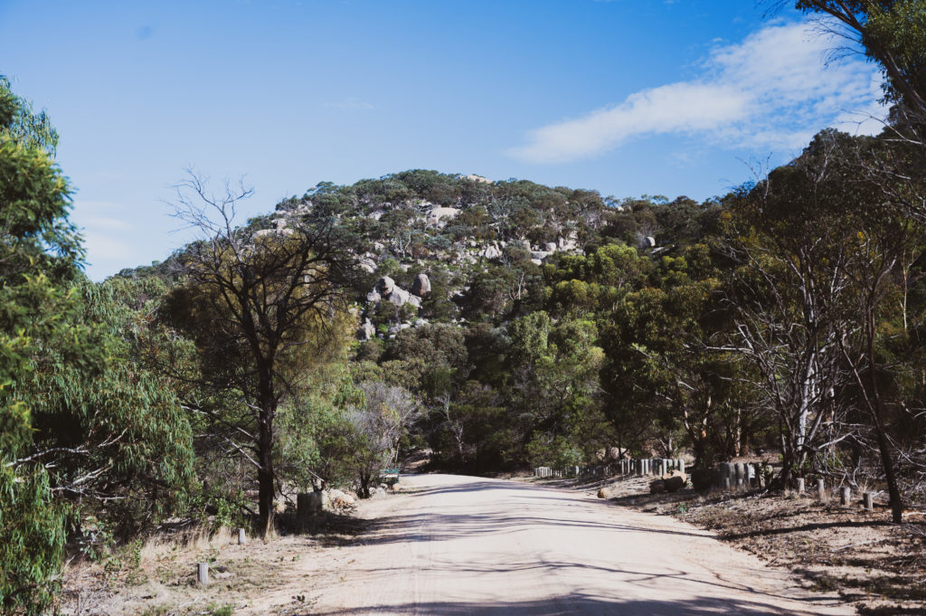
- The climb up to Kinglake from St Andrews features incredible views on a clear day
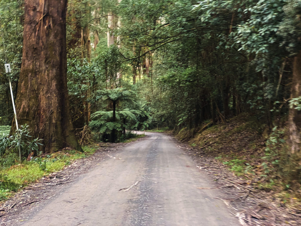
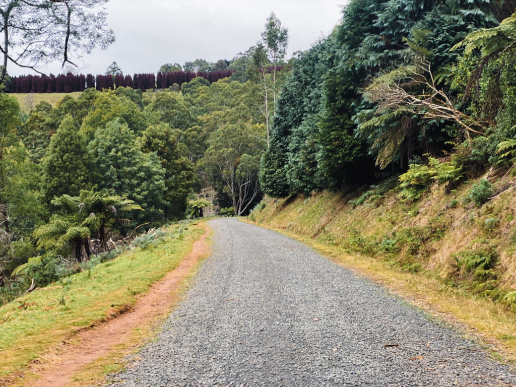
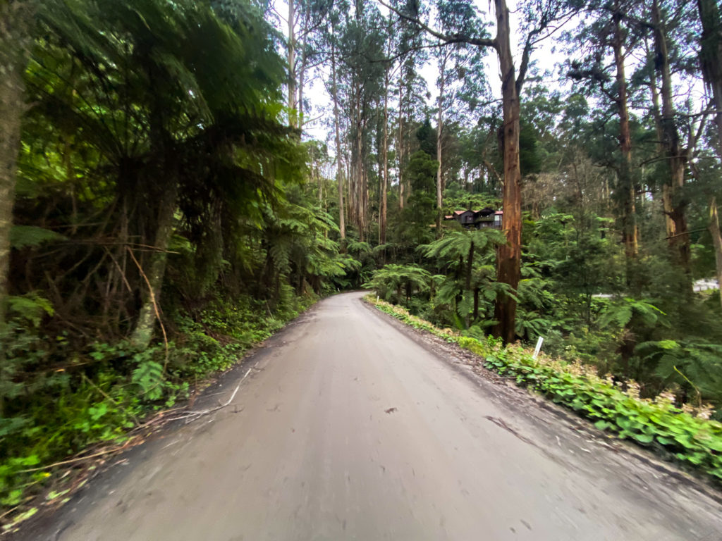
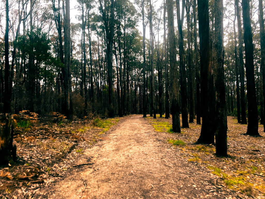
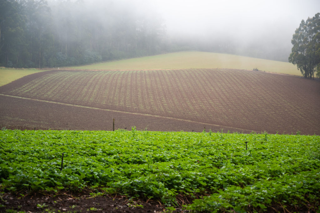
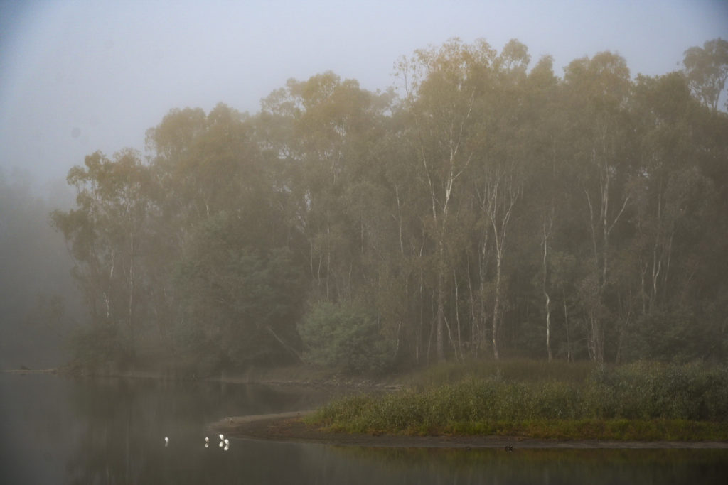
- Toolangi National Park is a quiet and amazing ride through dense forest
- Kinglake National Park and Mt Everard Track feature beautiful scenery and elevated views
- “A Local Baker” in St Andrews features some of the best snacks and coffee in the region and the home-made sausage rolls are not to be missed
- There is a busy St Andrews market on Sundays that has an alternative vibe to it
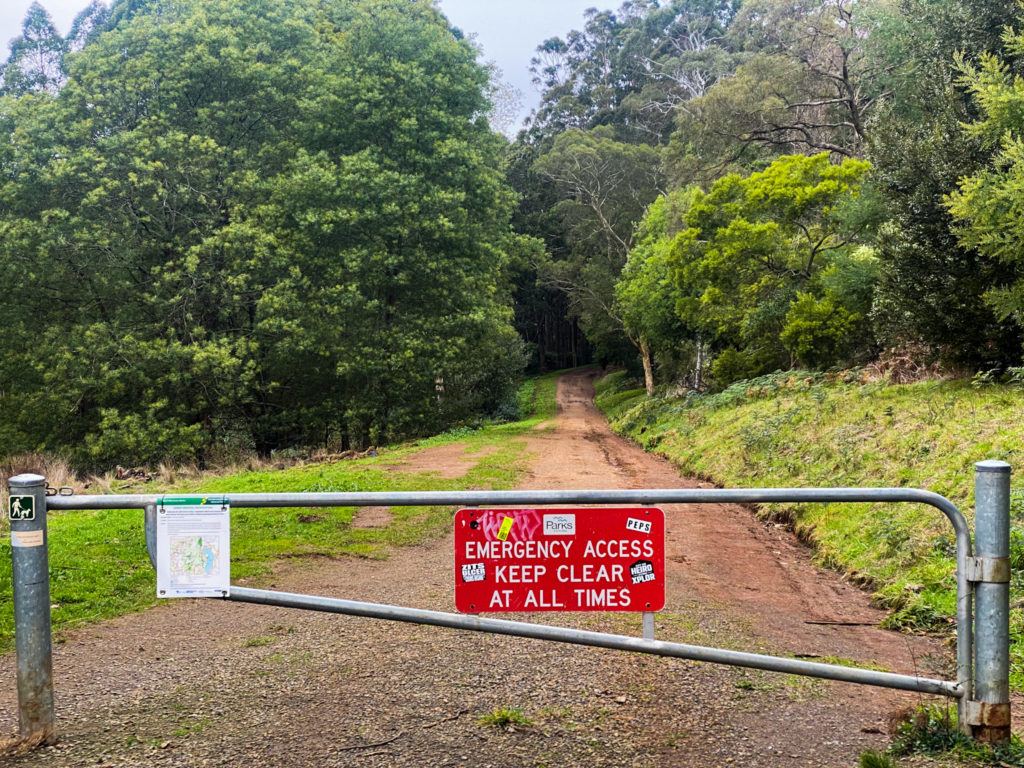
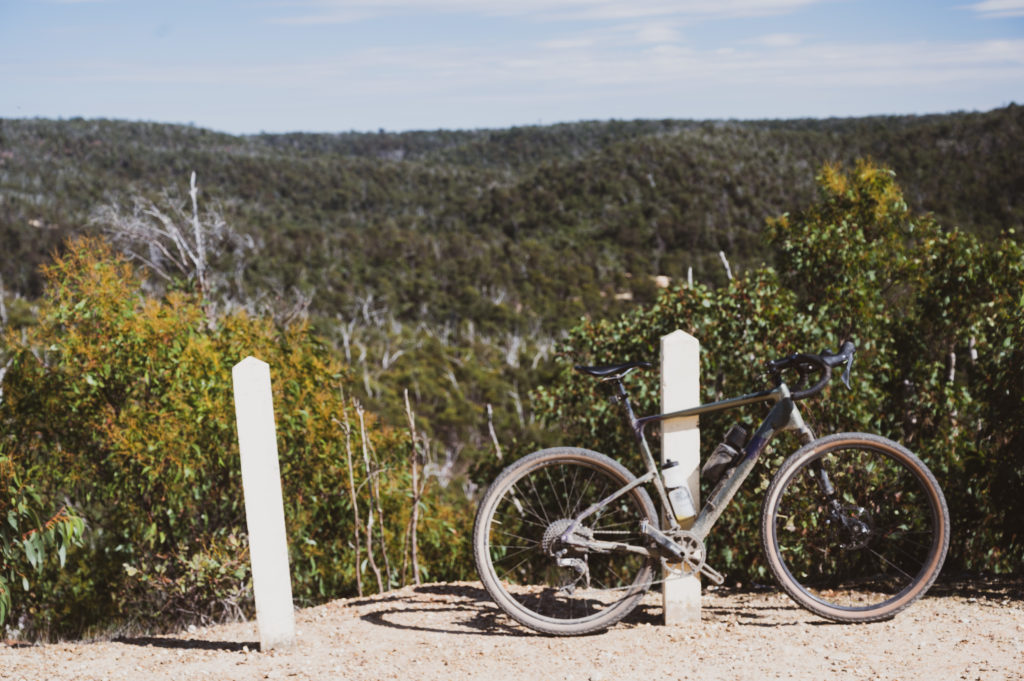
- Most of the route is easy to ride gravel but there are a few technical sections with looser, larger rocks and steep climbs & descents
- No resupply points from St Andrews until you reach Dixons Creek Cafe at 65km so its advised to take plenty of water and snacks
- Check opening times of Dixons Creek Cafe online as hours can vary
- “A Local Baker” is only open from 9am (Thurs – Sun)
- I drove to St Andrews and parked opposite “A Local Baker”


Little River – The You Yangs & Brisbane Ranges National Park Loop
→101km ↑1282m ~46% Gravel ⏱ 45mins from Melbourne
A fantastic route that takes in all that is good around Little River, Brisbane Ranges National Park, The You Yangs, Anakie and surrounding areas.
Starting from Little River Train Station, for the first 30kms, there’s a feeling of being on the outskirts of some small American desert town. The harsh landscape outside of Little River, looking onto the You Yangs is pretty incredible and the roads are pretty quiet leading into the Brisbane Ranges National Park.
The route loops through and around the Brisbane Ranges National Park with most of the significant climbing of the day confined to this area. The gravel tracks can at times be loose and lumpy and there might be a few occasions where you are inclined to jump off and take your bike for a walk. Each climb in this section gets well over 10% and at times up to 17%. Thankfully the climbs are short, the roads – quiet and the scenery – amazing.
At about the halfway point through the Brisbane Ranges you’ll come across the historic gold town of Steiglitz which has some interesting little things in and around.
Pretty much immediately after The Brisbane Ranges National Park you’ll find yourself at the very small town of Anakie.
A tiny bit off route, but if you take a left at Ballan Rd, you’ll find yourself at the Anakie General Store. If you take a right, there’s a cafe called “The Workshop Cafe”, although check the hours as it’s regularly closed over school holidays etc.
After lunch the route steers towards Mount Anakie and then descends into You Yangs Regional Park which is probably my favourites part of the ride.
You’ll find yourself riding through a young forest of thousands of trees on some-wwhat of a single track but more of an access track.
The You Yangs has two designated Mountain Bike areas and you’ll see the mountain bikers weaving around you as you descend or climb through the park. The mountain biking actually looks really amazing and the park was really busy at the time. You can read more about the mountain bike park at the “You Yangs Mountain bike club“.
One more steep gravel pinch and you’re finished with climbing for the day as you head back along You Yangs Rd into Little River.
- Little River is a 45min drive, South West of Melbourne off the Princess FWY
- Little River train station is an one hour journey from Southern Cross Station via V Line
- Leaving Little River with The You Yangs in the foreground
- Brisbane Ranges National Park
- The historic settlement of Steiglitz
- Lunch in Anakie at 65km
- Rolling through You Yangs National Park
- Most of the route has clean and smooth gravel but there are a few technical sections with looser rock and steep climbs & descents
- No resupply points from Little River until you reach Anakie at 65km so its advised to take plenty of water and snacks
- I drove to Little River Station and parked there for the day


Macedon – Romsey Gravel Loop
→100km ↑1337m ~41% Gravel ⏱ 45mins from Melbourne
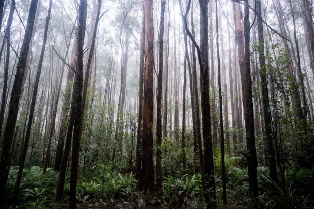
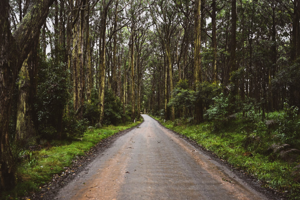
Quite a lengthy climb out of Macedon passed the Macedon Pony Club will get your blood pumping before you find yourself submerged in mossy forest and settling in to some clean gravel roads albeit a tiny bit lumpy with some light corrugations and small embedded rocks.
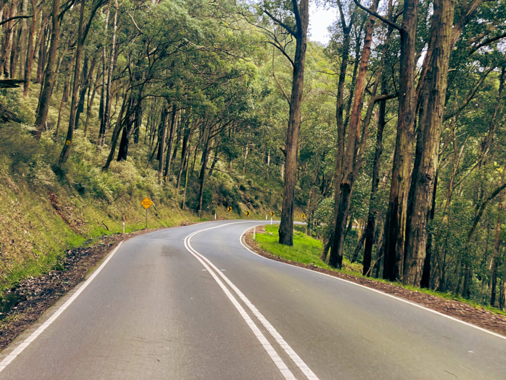
The ride finds a balance between deep forest and rolling countryside with a 50/50 blend of gravel and tarmac.
If the wind is up as it was with me, you’ll find yourself battling a fierce headwind as the route sneaks in and out of different direction.
Romsey and in particular “The Romsey Bakery” make for a fantastic rest stop at precisely the half way mark before the course takes a turn through the countryside and onto roads that are a little more susceptible to muddy conditions.
It had been a particularly wet couple of weeks and a very wet day, so muddy conditions were to be expected and to be fair, effected areas were brief and still 95% rideable.
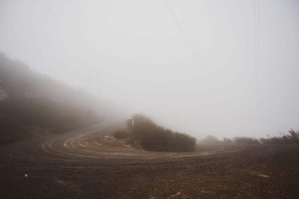
Perhaps the second half of this course was to be quite scenic but due to heavy cloud cover it was hard to see much at all.
I would very much like to revisit this route in fairer weather to see what else it has to offer.
A short stint of heavily forested single track that would be more favourable in drier conditions followed towards the late stages of the ride before taking in again some smooth gravel and rolling back into Macedon.
A beautiful ride that offers extremely rideable gravel roads that aren’t always perfectly smooth but are perfectly safe.
Each climb has its challenges with short stints at steep gradients, however all-in-all, the ride is a fantastic option for those looking for something more mixed terrain without a huge amount of climbing.
- Macedon is a 45min drive, North West of Melbourne off the Calder FWY
- Macedon train station is a 50min journey from Southern Cross Station
- Rolling past Macedon Pony Club
- Climbing out of Macedon through mossy forest and flora reserves
- Having lunch in the small township of Romsey
- Rolling on single track through Macedon Regional Park and the smooth descent back into Macedon
- Clean and smooth hard-pack gravel with some muddier sections towards the end of the course in the cooler months
- No resupply points from Macedon until you reach Romsey at 50km so its advised to take plenty of water and snacks
- Can be very cold in Macedon during Winter
- I drove to Macedon Train Station and parked there for the day


Seymour – Strathbogie Ranges Gravel 100
→109.4km ↑1165m ~45% Gravel ⏱ 1hr 15mins from Melbourne
Starting in Goulburn Park – Seymour, this fantastic, significantly gravel route takes you on quiet back country asphalt roads for around 20km before crossing the border of Mitchell Shire into the Strathbogie Shire and hitting some flat, compacted, fast-moving gravel.
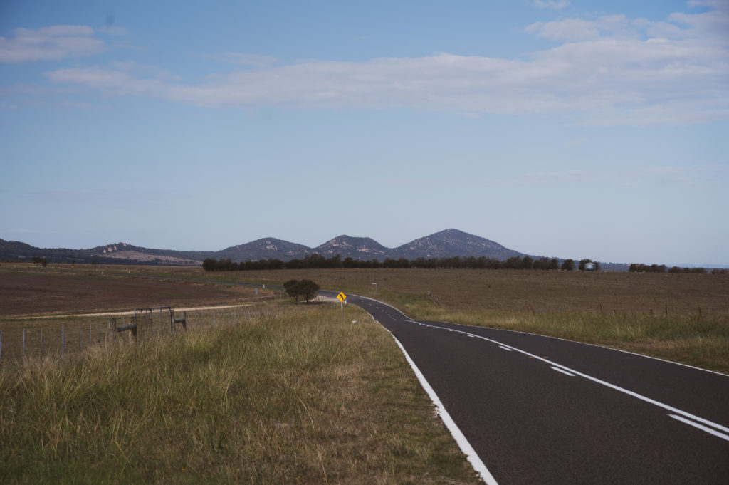
From this point, the route opens up into lush, pristine country-side and you step into a different world onto the rocky outcrops of the Strathbogie Ranges and the streams, green fields and livestock aside the course.
Rolling-hills are a feature as you cross valley to valley before eventually settling into some climbing and the tiny village of Ruffy where there is a tap with some water available, but nothing much else.
Hinterlands prevail as you dance along the top of the Strathbogie Ranges before a clean descent takes you onto a marginally rougher gravel track and rounds out the loop dropping you off on the road back to Seymour which you will have already seen but will be happy to see again.
Amazing course that is well worth your time, only an hour from Melbourne with not too much elevation and good for recovering legs.
- Seymour is a 1hr 10min drive, North of Melbourne up the Hume FWY
- Seymour train station is a 1hr 30min journey from Southern Cross Station and the course starts just up the road from there
- Goulburn Park, Seymour
- Following the streams along Highlands Rd out of Seymour up until the ford crossing
- Rolling countryside with livestock littering the green fields
- The rocky outcrops of The Strathbogie Ranges
- The tiny village of Ruffy and the hinterlands beyond
- Descending out of Ruffy all the way towards Seymour
- Smooth gravel 95% of the time with some very small sections of slightly rougher stuff, all rideable
- One ford crossing that would take a lot of rain to flood
- No shops or services for the entire ride so make sure you bring sufficient supplies
- Drinking water available out the front of Ruffy CFA from the tap at 45kms


The Basin, Gembrook Gravel Explorer
→104km ↑2048m ~60% Gravel ⏱ 40mins from Melbourne
The Dandenongs is one of the finest metro-fringe areas for riding bikes in all of Melbourne.
Famous for the 1 in 20 climb, The Basin is the destination for hundreds of riders every weekend looking to tackle a collection of amazing hill climbs through vast hinterland and sleepy tourist towns.
Popular amongst roadies, there’s also plenty of sweet gravel on offer.
Much like its bitumen cousin, this route also starts at the base of 1 in 20 although rather than heading up the Mountain Highway, you’ll take a different exit at the roundabout and find yourself riding The Gravel 1 in 20, 6km at 6% average up Basin – Olinda Rd and let me tell you, you are in for a treat.
After the Gravel 1 in 20 you’ll pop out on a main road albeit briefly, before hitting Mathais Rd or Mathais Walking Track which is a stunning track through Dandenong Ranges National Park with views over The Dandenongs. Make it up there quick enough and you’ll snag yourself a view of the sunrise.
The route carries on with smooth gravel roads and intense hinterland, weaving in and out through quiet residential areas before you pass through the township of Monbulk and then Emerald.
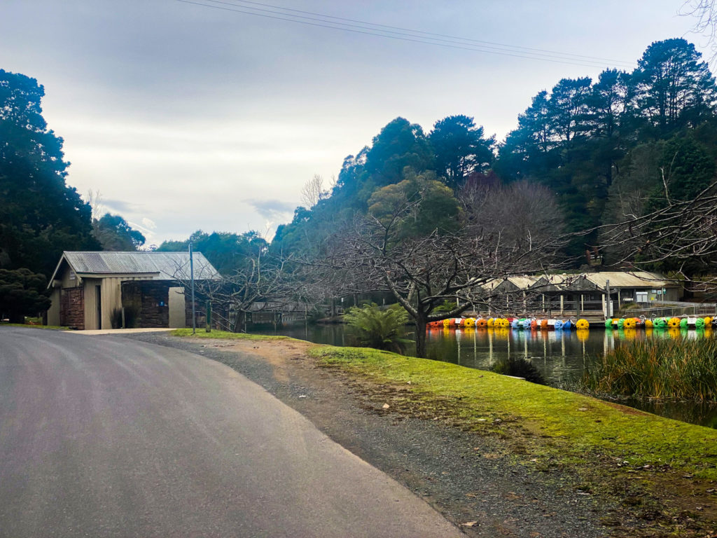
The Emerald Village Bakery and Cafe is a sight for sore eyes and should be where you stop for lunch on this route. All the treats are stunning.
Following lunch, you’ll find yourself on Emerald Lake walking track passing through Emerald Lake Park and then following The Puffing Bill Rail & The Eastern Dandenong Ranges Trail before lassoing around Gembrook and heading back through more remote sections of the route.
While still in outer suburbia, the roads start to get a little bit steeper though still nice and smooth, you’ll find yourself weaving in and out countless times before passing through the township of Kallista and then Sassafras where you’ll descend down the actual 1 in 20 (road version) towards the end of the route.
- The Basin is around a 45min drive, East of Melbourne
- The closest train station is Boronia train station which is about a 4km ride to the start of the route
- Gravel 1 in 20 climb
- Speedy, smooth and well maintained gravel roads
- Mathais Walking Track
- The Emerald Village Bakery & Cafe
- The Puffing Billy Trail
- The Eastern Dandenong Ranges Trail
- Plenty of food, water and bathroom options through the route including Monbulk (20km), Emerald (40km), Gembrook (55km), Kallista (90km) and Sassafras (96km)
- If you are good for food and supplies, you can cut out the Gembrook section, there’s not a heap to see over a few km’s
- A few steep gravel climbs and steep descents more towards the back half of the ride