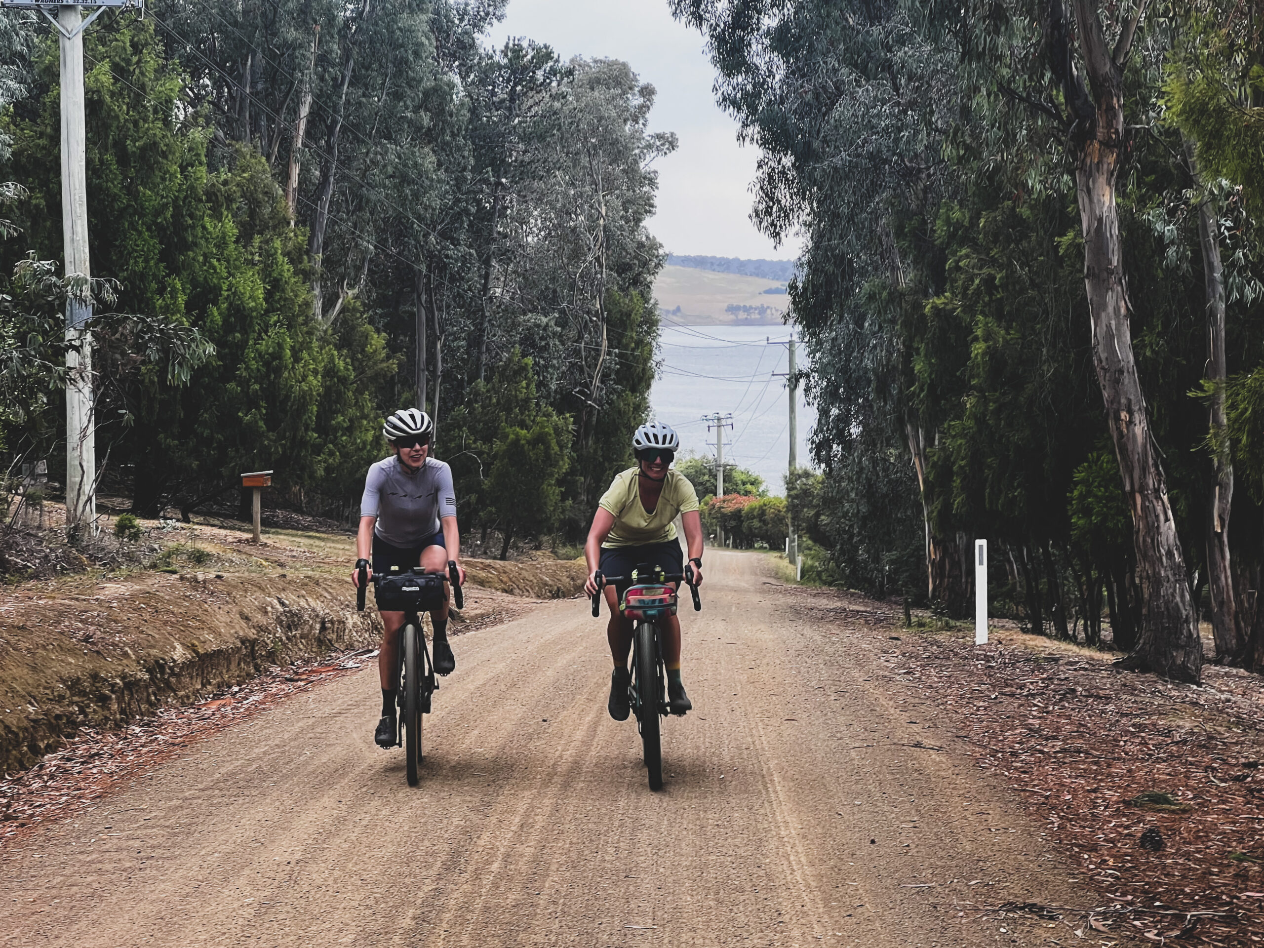
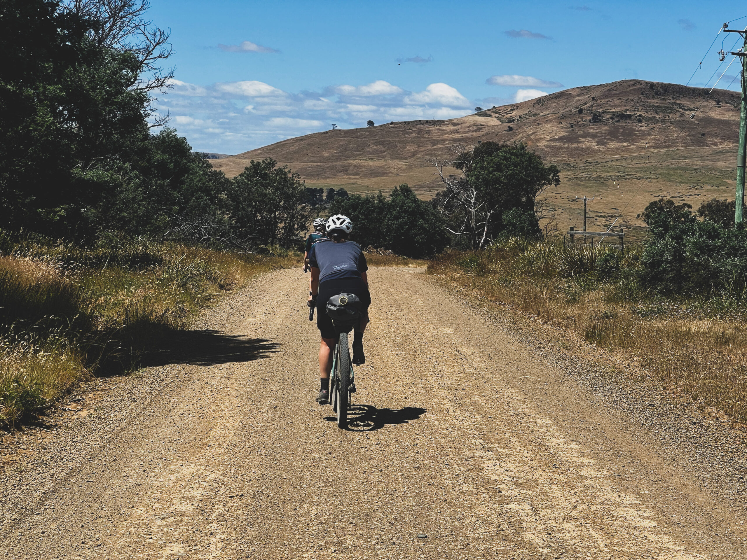
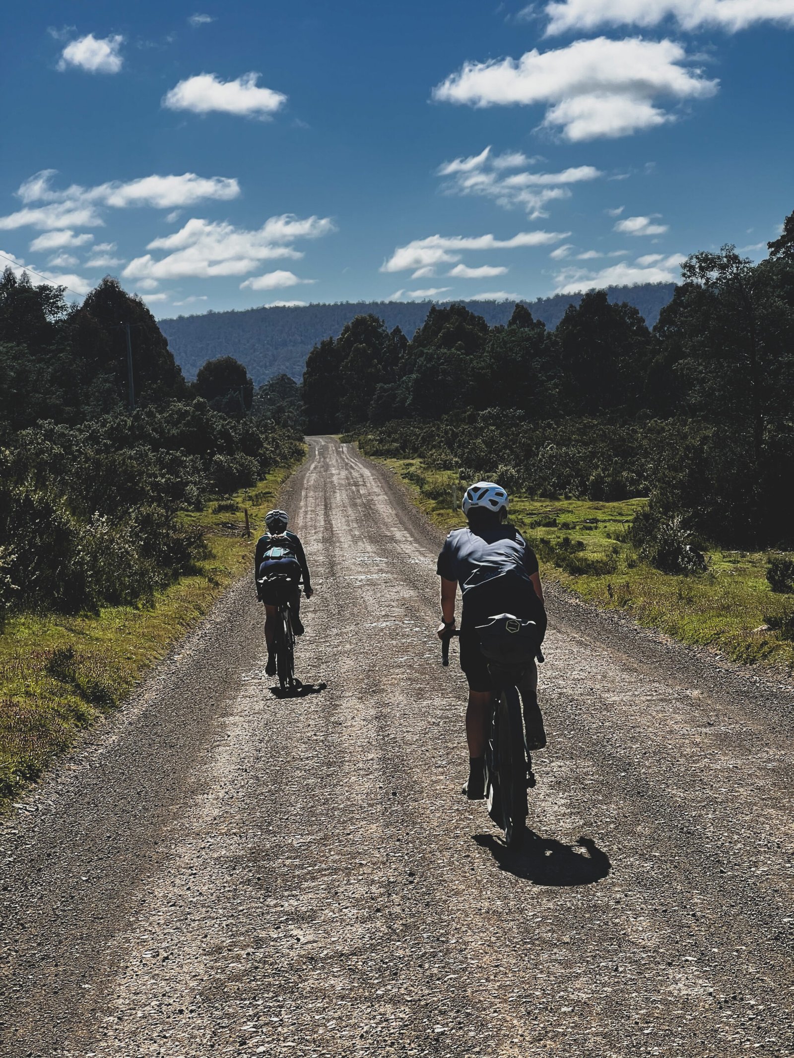
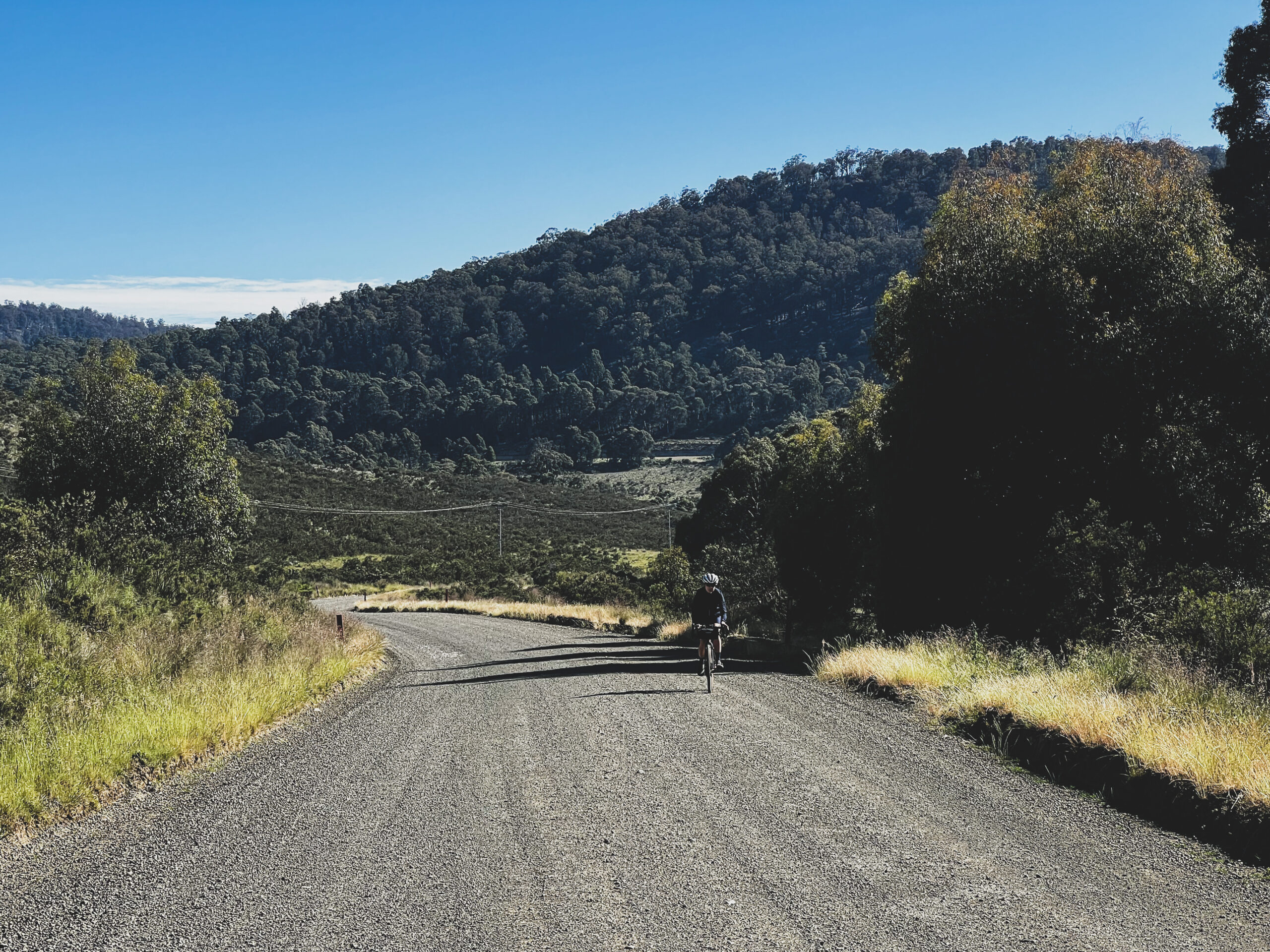
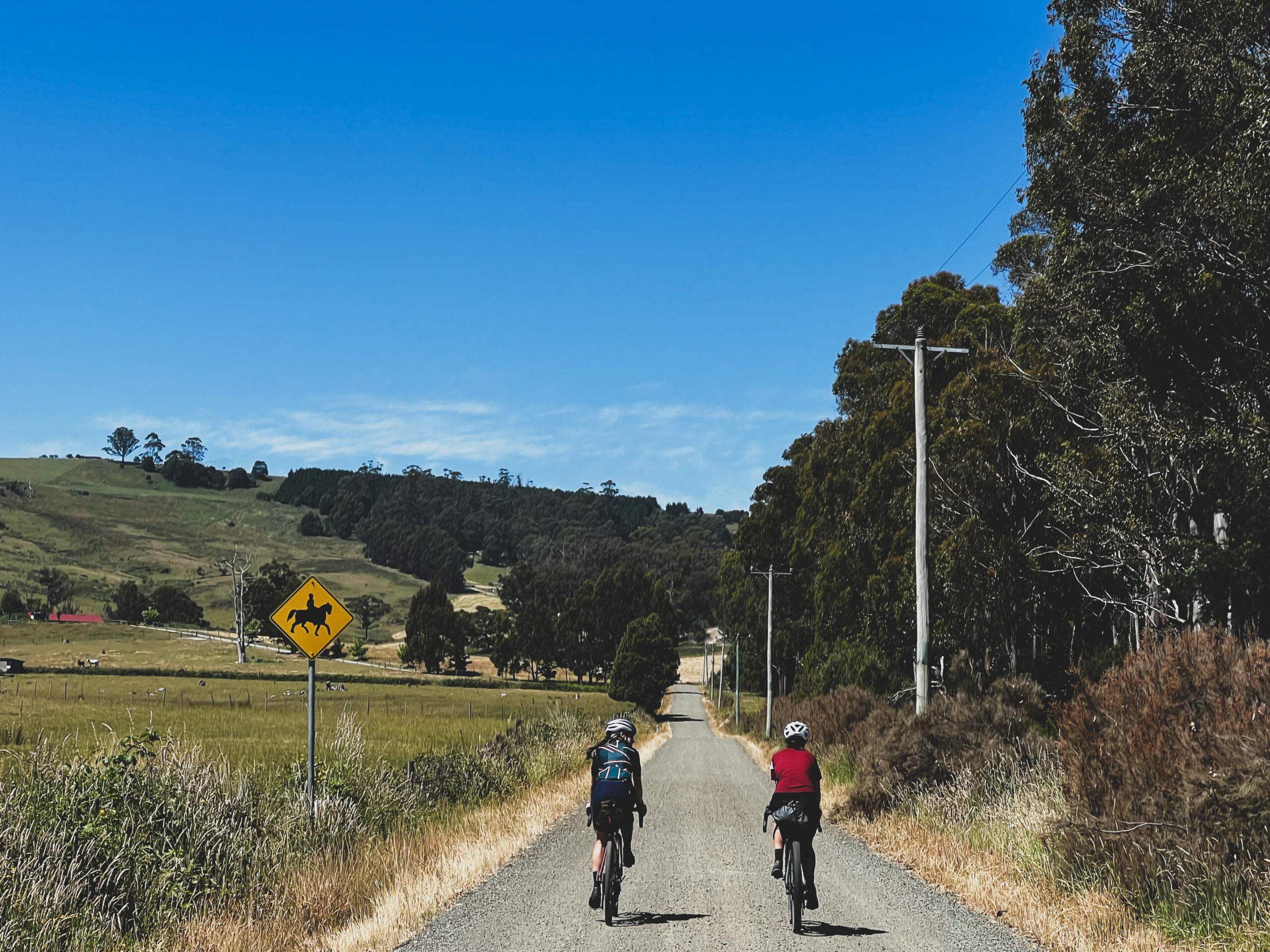
The Tasmanian Trail is a long distance, multi-use trail originally designed for hikers and horse riders although it is now mostly intrepid bike packers that make use of this gorgeous inland track traversing Tasmania’s diverse terrain of farmland, forest, high plains and everything in-between.
The Tasmanian Trail has gained huge popularity over the years amongst bike packers, mainly due to it’s write up on bikepacking.com and it’s funny how if a particular route takes on some notoriety, just how many people are drawn to ride it.
The Tassie Trail is no exception and is on the tip of every wandering cyclists tongue.
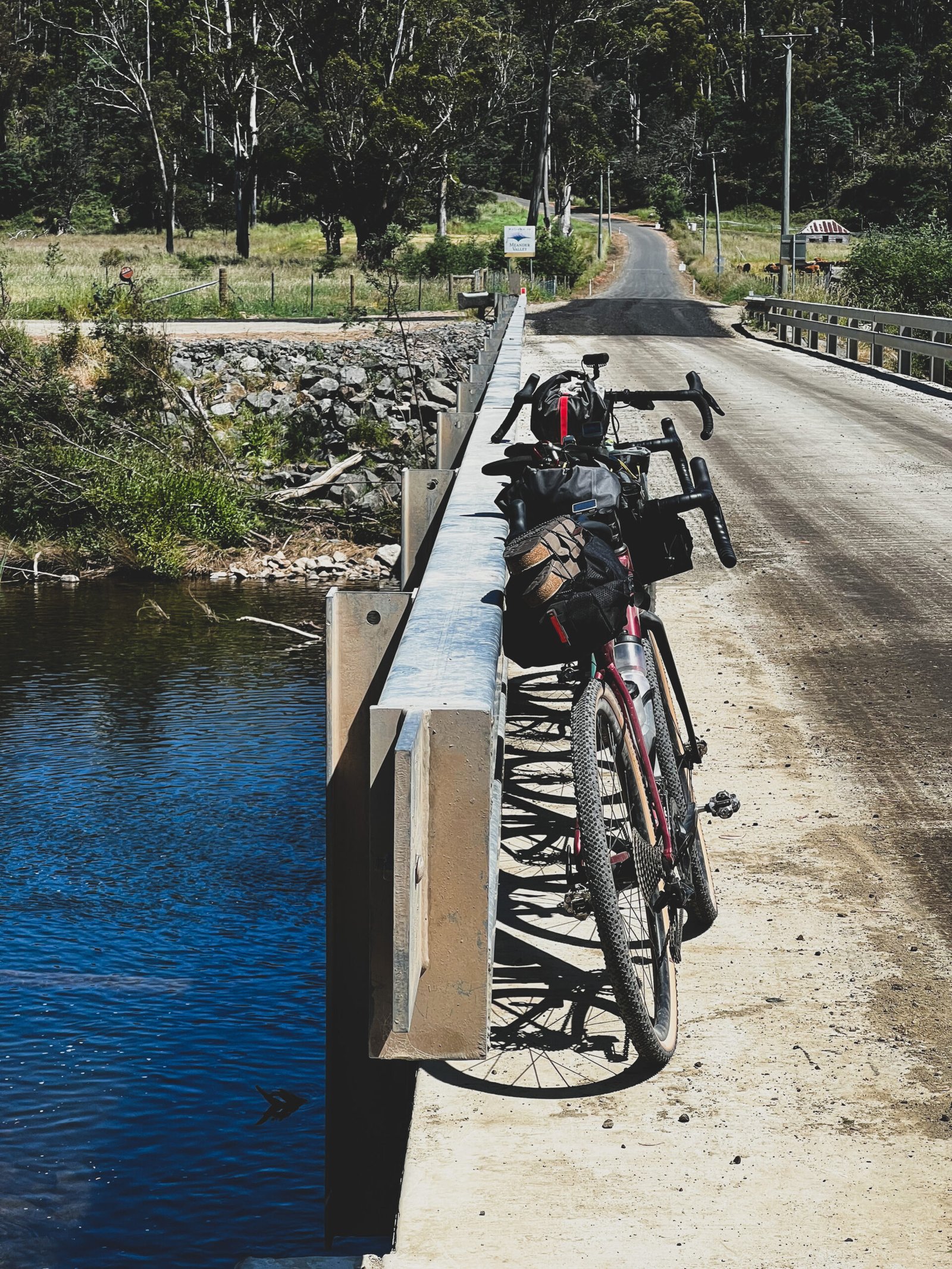
We rode The Tasmanian Trail, discovering the good (and the bad) and have created a somewhat alternate route to navigate a way around some of the more dated and dilapidated sections of the adventure. Trust us, there are places you don’t want to go!
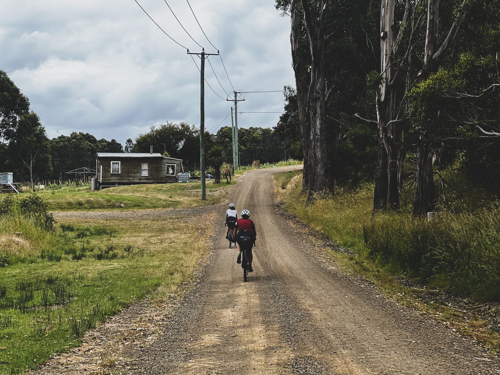
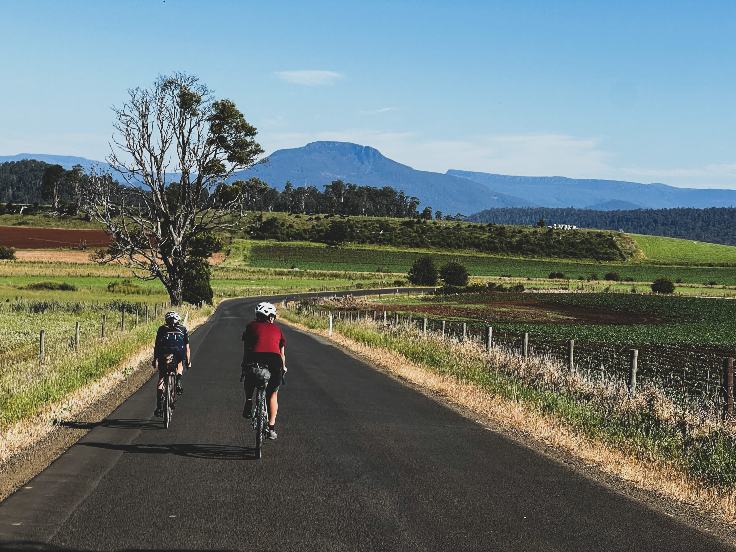
Our version of The Tasmanian Trail starts you in Devonport and follows the original (or purist) trail until you reach Deloraine, where we detour through the town and then bypass the relatively impassable Cluen Tiers section.
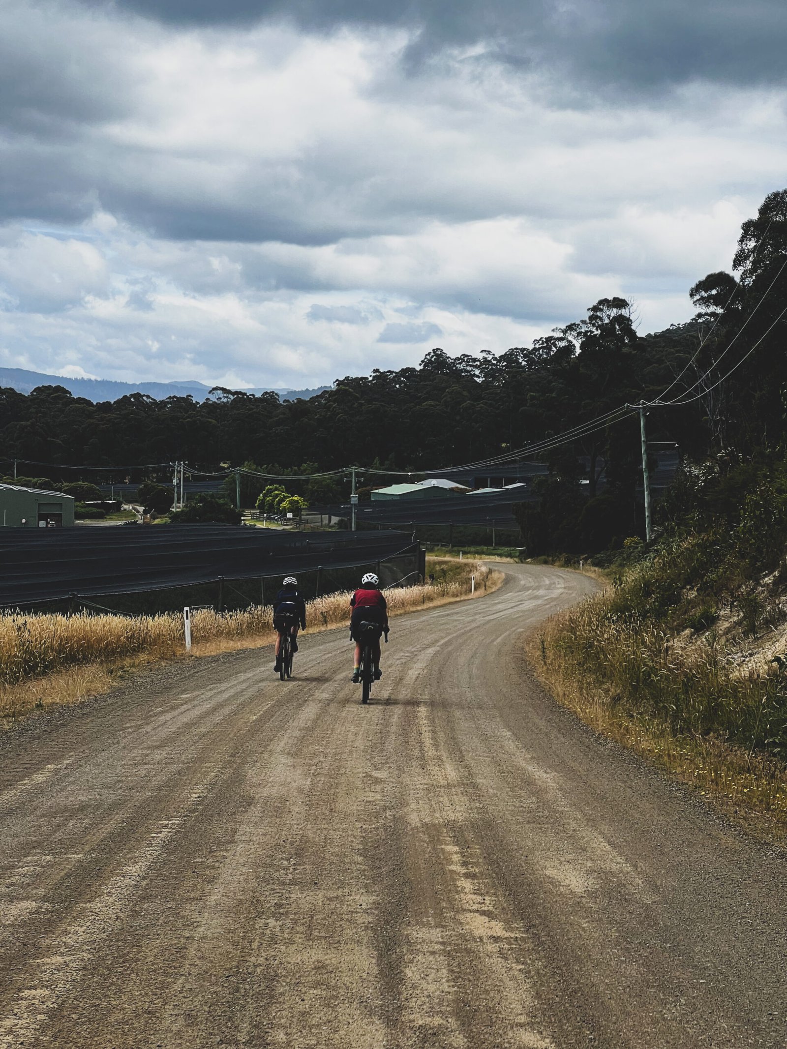
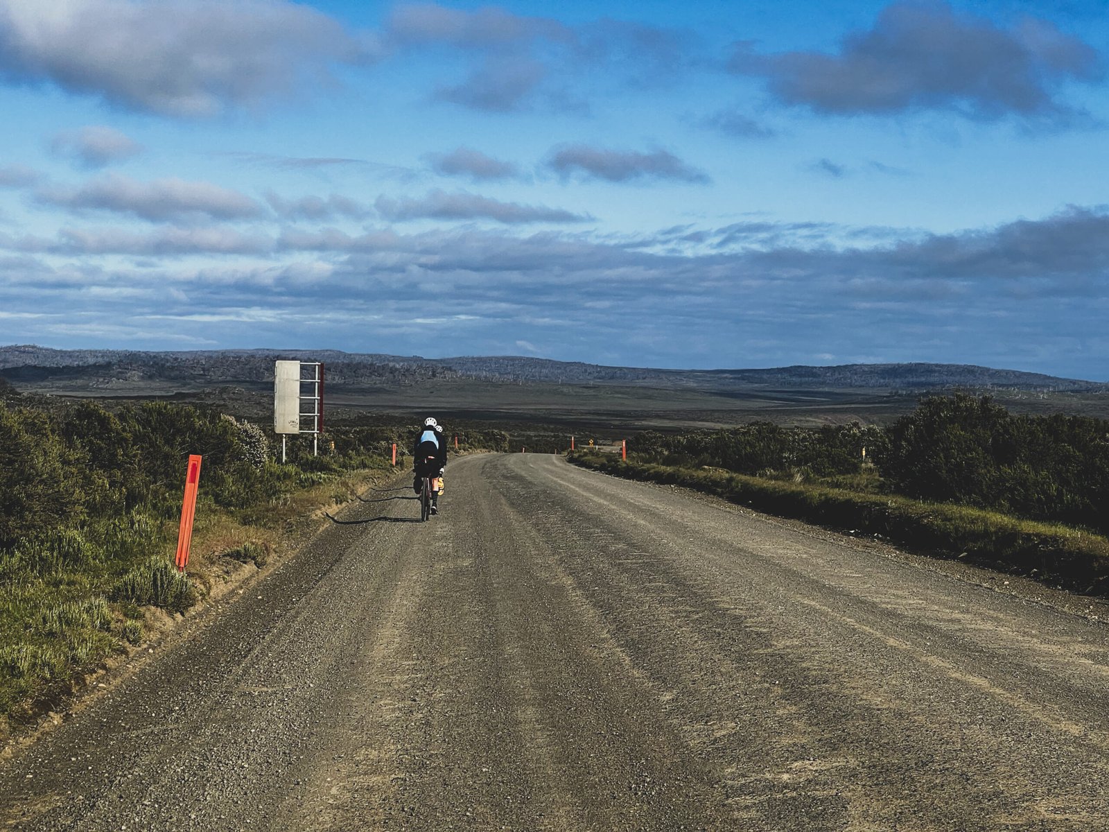
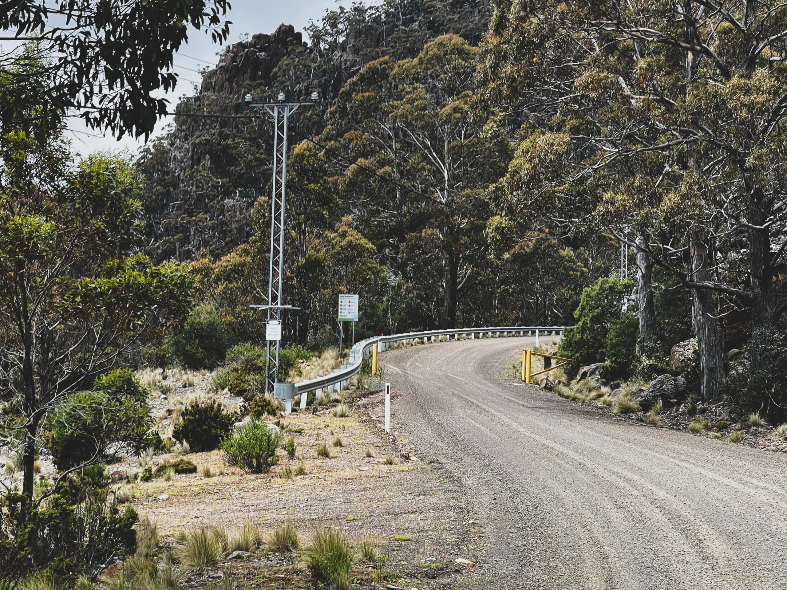
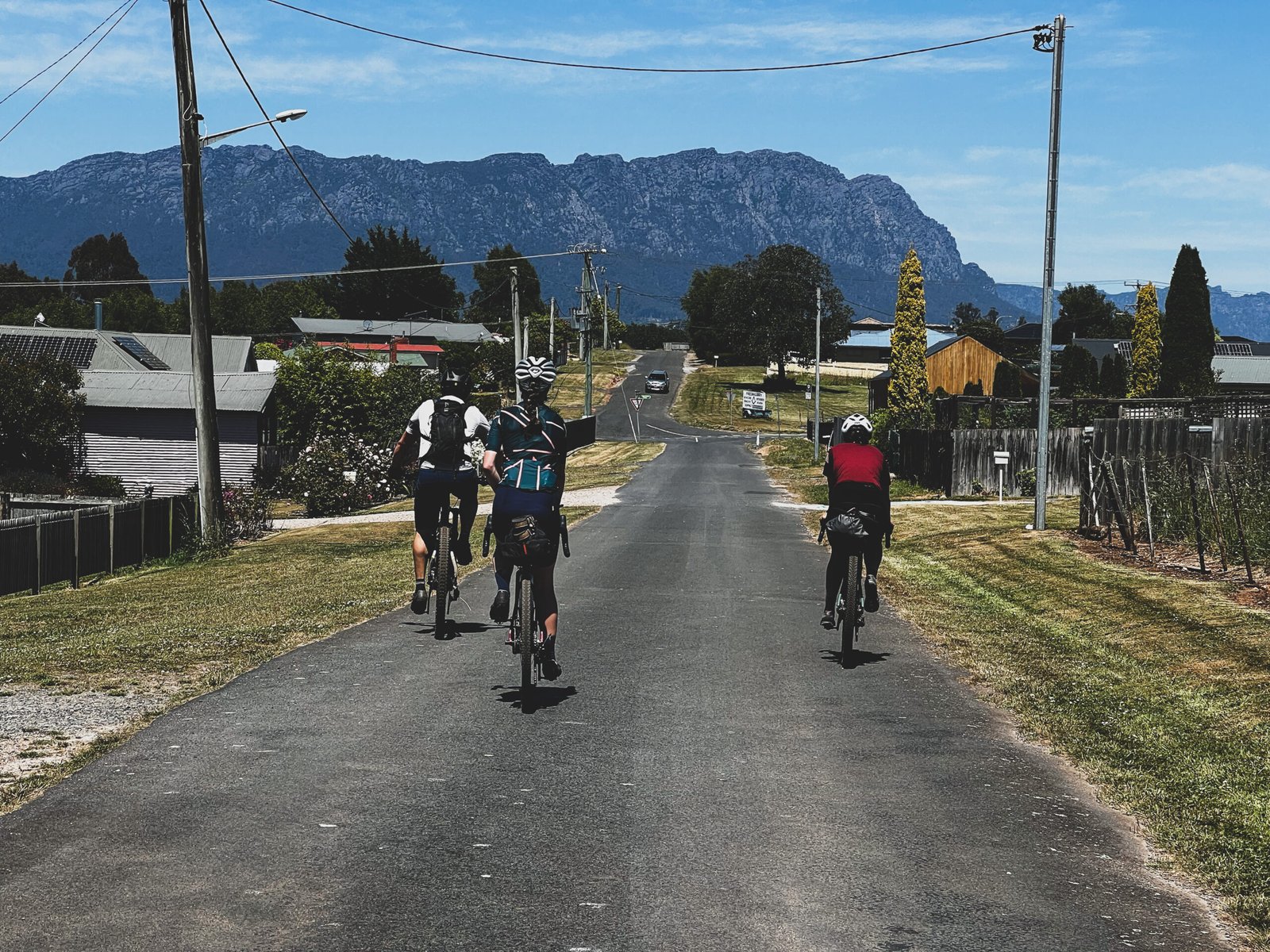
From there the route climbs up to Miena via Poatina Rd, avoiding the Caves Track. (A 4hr hike-a-bike up a cliff face).
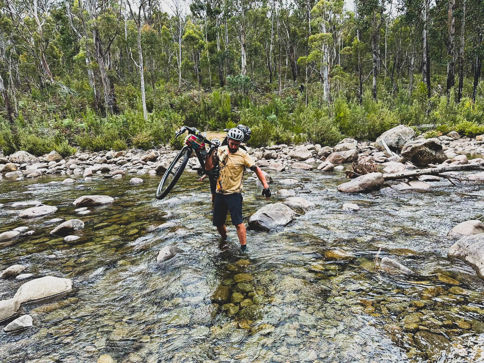
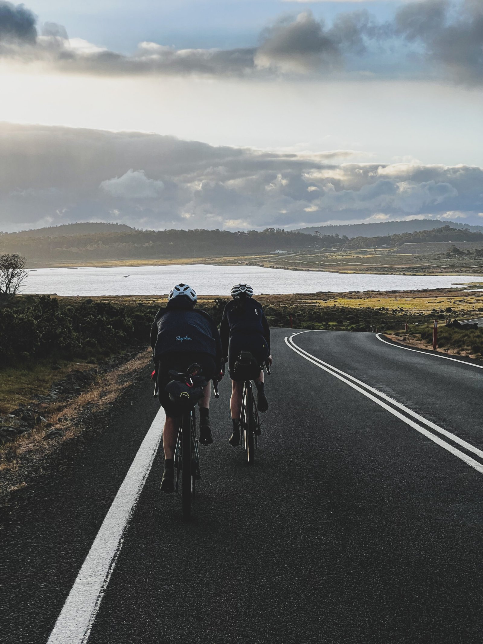
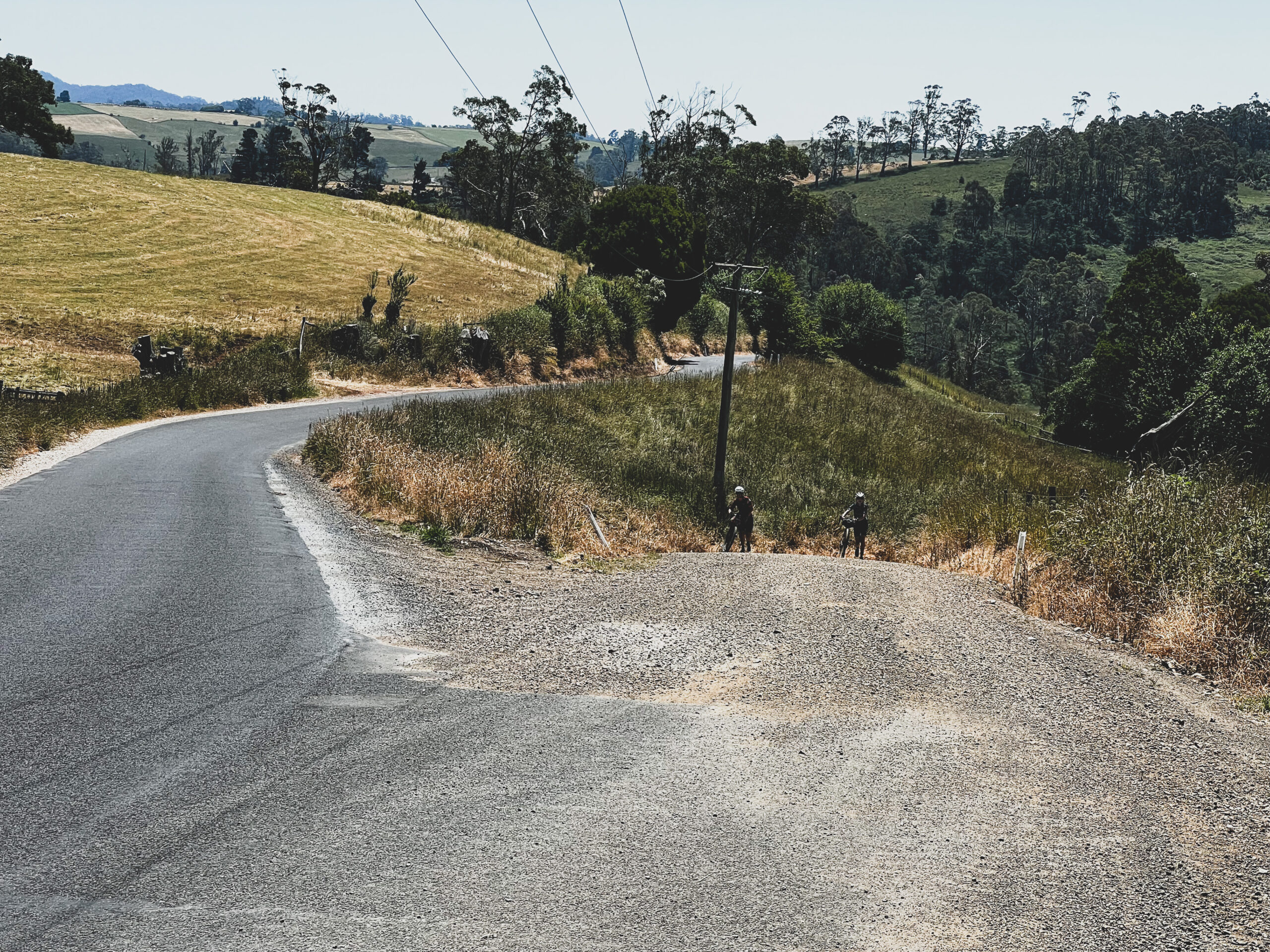
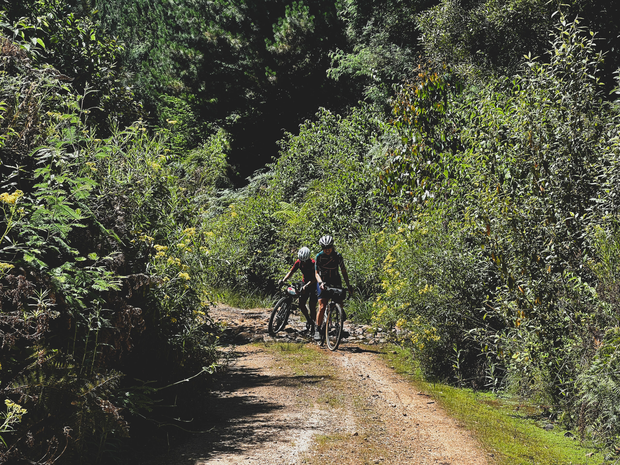
The route then descends down, mostly following the original Tasmanian Trail into Ouse and onto New Norfolk before the necessary hike-a-bike sections of Jeffrey’s Track and then permanently off the trail into Huonville.
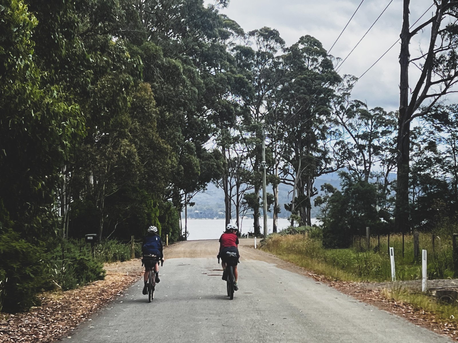
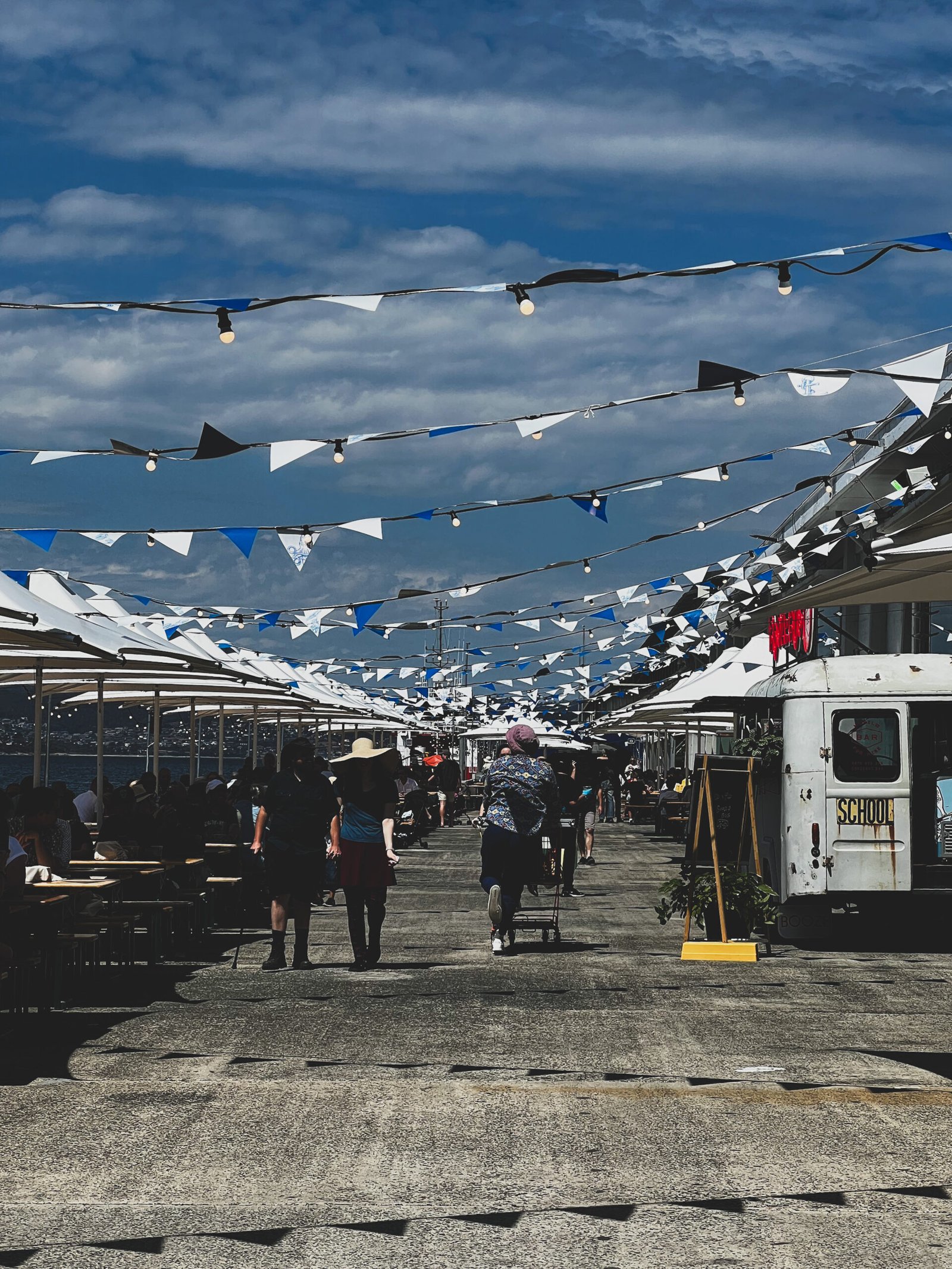
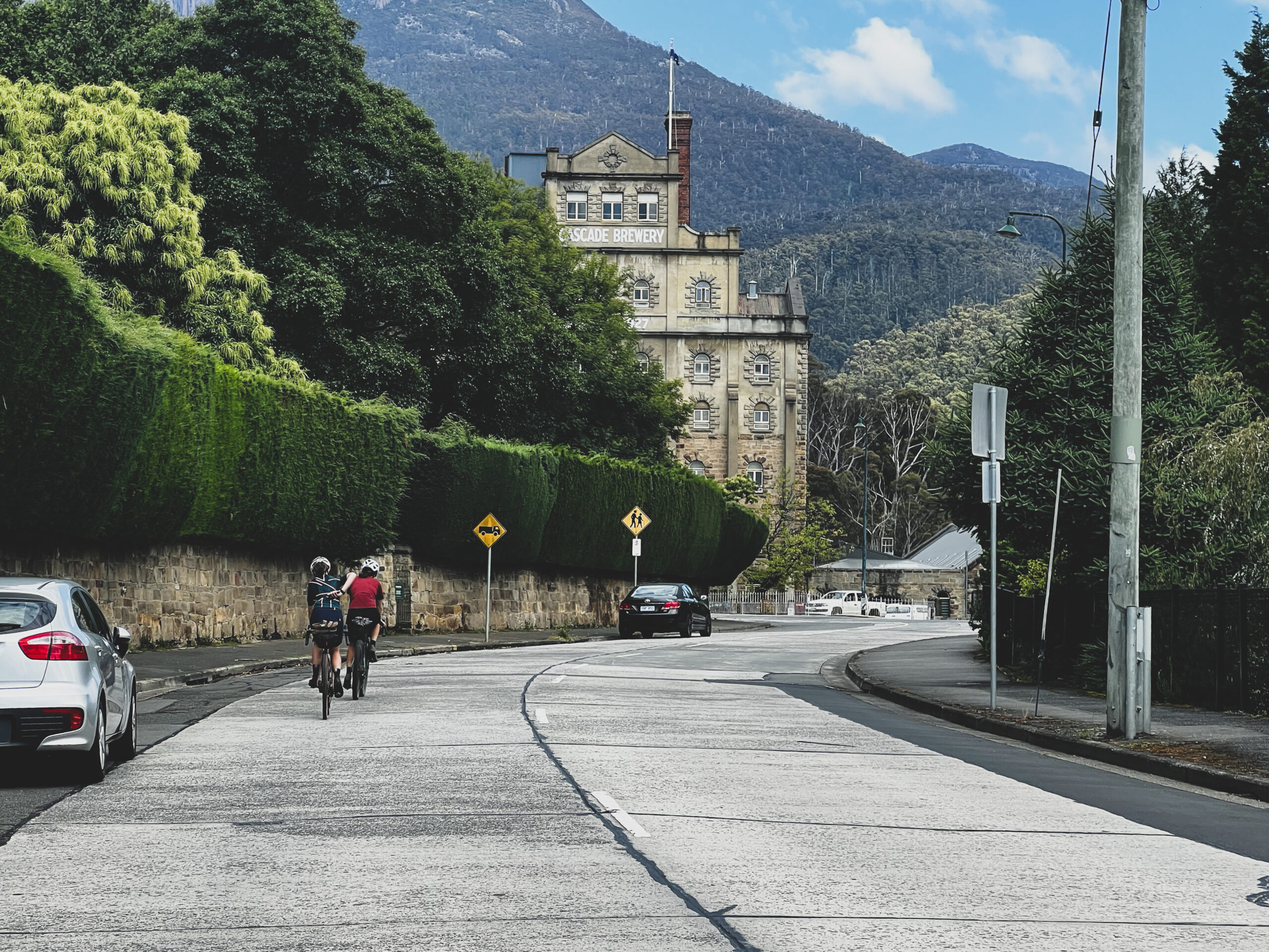
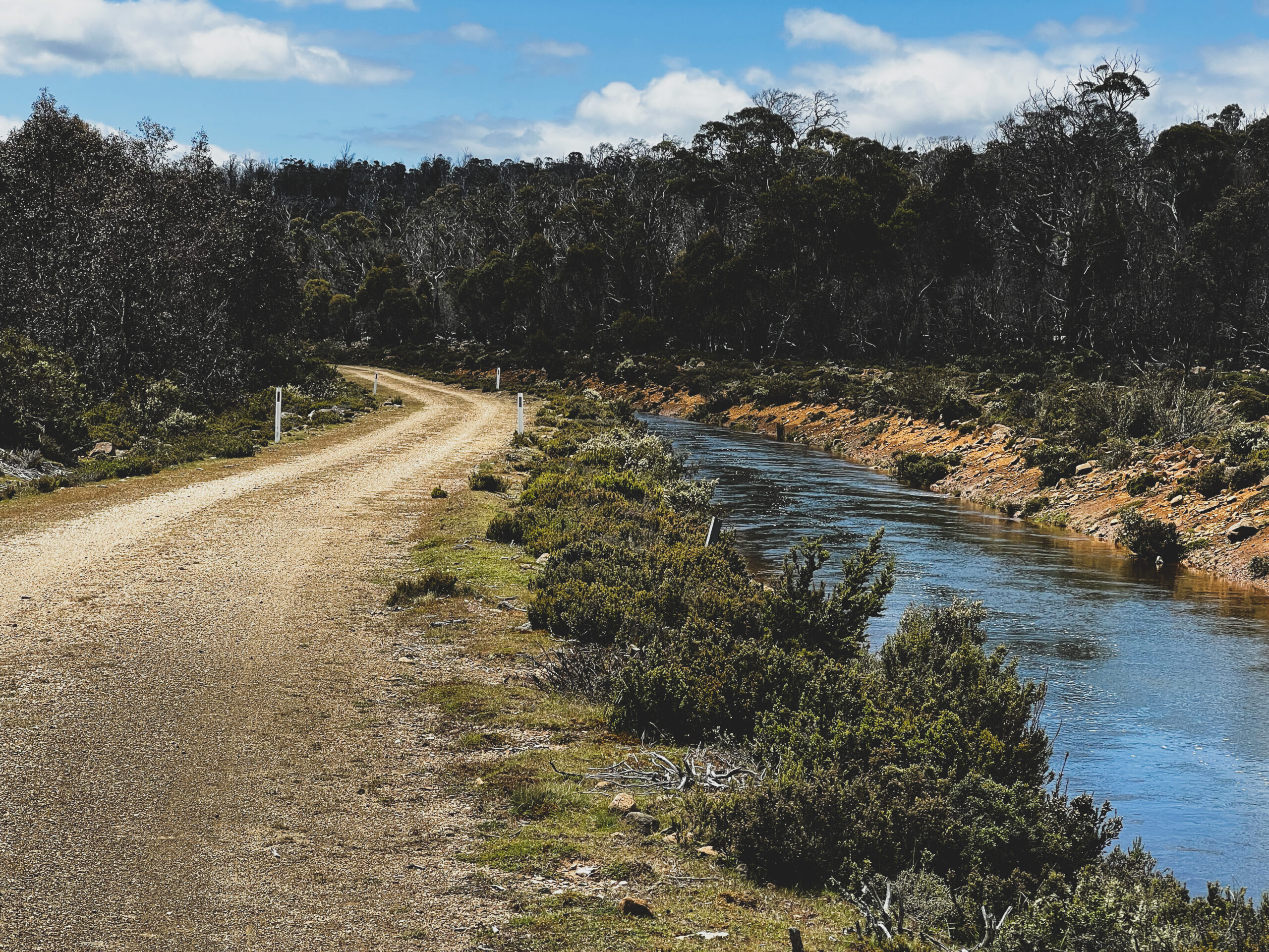
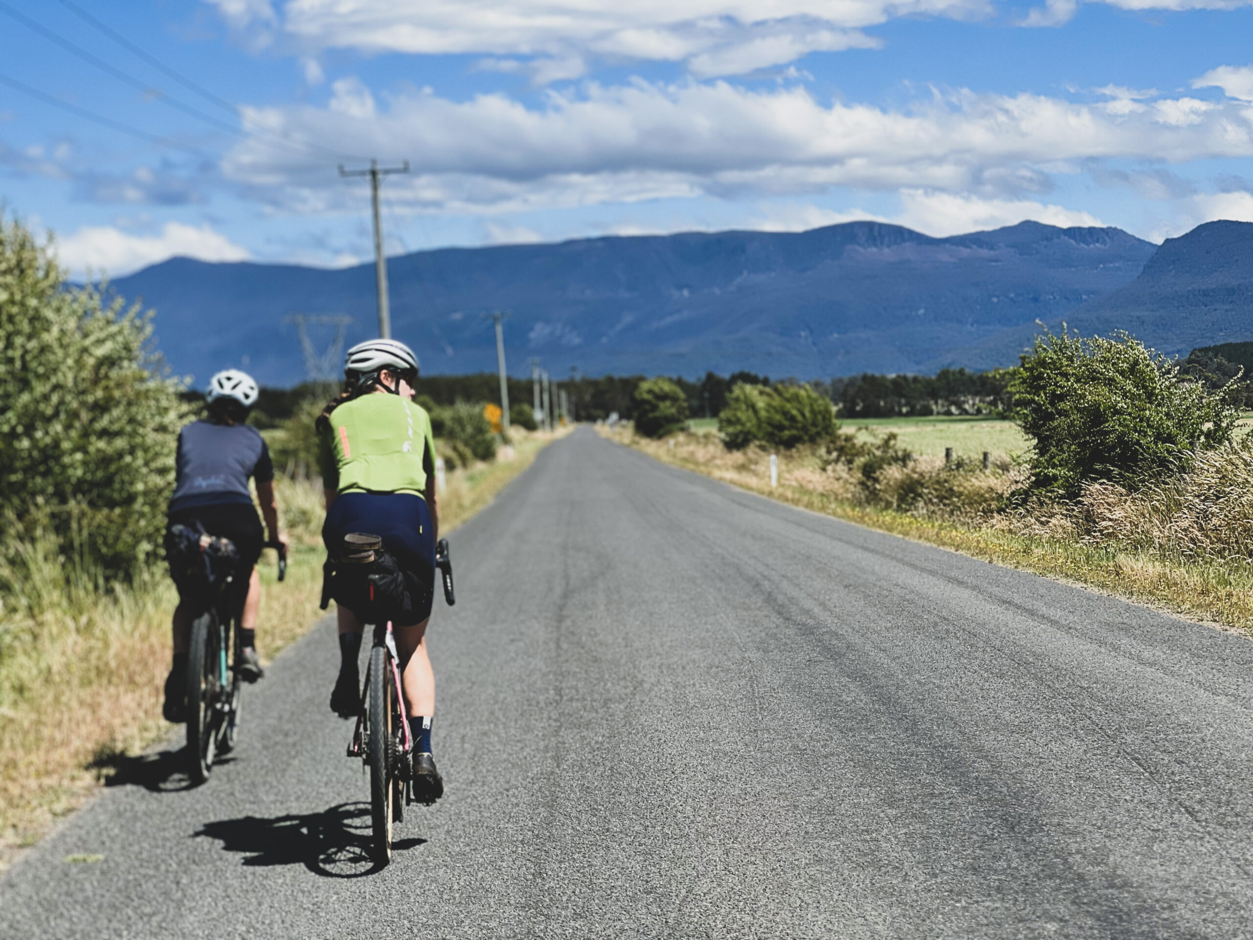
Our alternate route then follows some amazing roads into Cygnet, over to Kettering (the gateway to Bruny Island), past the base of Kunanyi (Mt Wellington) and into Hobart.
Want to know more? We’ve written a blog post about it which also has a copy of the original trail that follows the purist route into Dover minus two of the really gnarly sections, there’s also a larger gallery to view. Read here.
Terms of use: Cycle this route at your own risk. Check local weather, conditions and closures before departure. Adhere to land use rules, carry provisions, safety gear and respect the trail. This information is intended to be used as a planning resource; accuracy is not guaranteed. BIKEROUTES.com.au are not liable for any incidents during or following this route.